1. Context
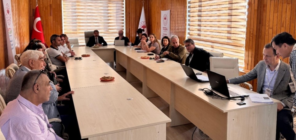
Broader biophysical and policy context: The Lower Seyhan Alluvial Plain is a highly productive agricultural landscape in Adana Province, southern Türkiye, located between the Seyhan and Ceyhan rivers. The plain has a semi-arid Mediterranean climate, with hot summers, mild winters, and intensive irrigated agriculture. The Lower Seyhan Irrigation Project covers about 133,000 ha and supports multiple cropping cycles per year. However, high irrigation demand, intensive fertilizer and pesticide use, and climate-change pressures create risks for soil health, water quality, salinity, and long-term agricultural resilience.
Soil-related issues: Key soil-related challenges include salinity, shallow groundwater, drainage constraints, soil compaction, declining soil organic matter, and nutrient losses linked to intensive irrigation and input use along with fragmentation. Studies in the Lower Seyhan Plain and nearby irrigated districts show that salinity and groundwater problems are associated with clayey soil texture, low irrigation efficiency, inadequate drainage, and long-term irrigation practices. These pressures are threatening crop productivity, increase management costs, and weaken soil functions related to water regulation, nutrient cycling, carbon storage, and climate adaptation.
The Lower Seyhan Alluvial Plain Soil Living Lab: The Soil Living Lab is anchored by the Hacıali Agriculture Research Area, located in the Lower Seyhan Alluvial Plain at about 15 m above sea level. Established in 1924 as one of the earliest agricultural research institutions of the Turkish Republic, it provides a strong long-term knowledge base for soil, crop and animal husbandry research. Major soils include Cambisols, Calcisols, Vertisols, and Luvisols. Its long-term records and experiments on cotton, cereals, oil crops, and fodder crops provide an important platform for testing soil-health indicators, regenerative practices, and economically viable soil management options. Since its inception, the Hacıali Research Institute has functioned as a living lab by sharing its findings directly with farmers, fostering long-term relationships that have boosted crop yields and earned the institute widespread respect within the agricultural community of the Seyhan Plain even within the country.
2. Scale
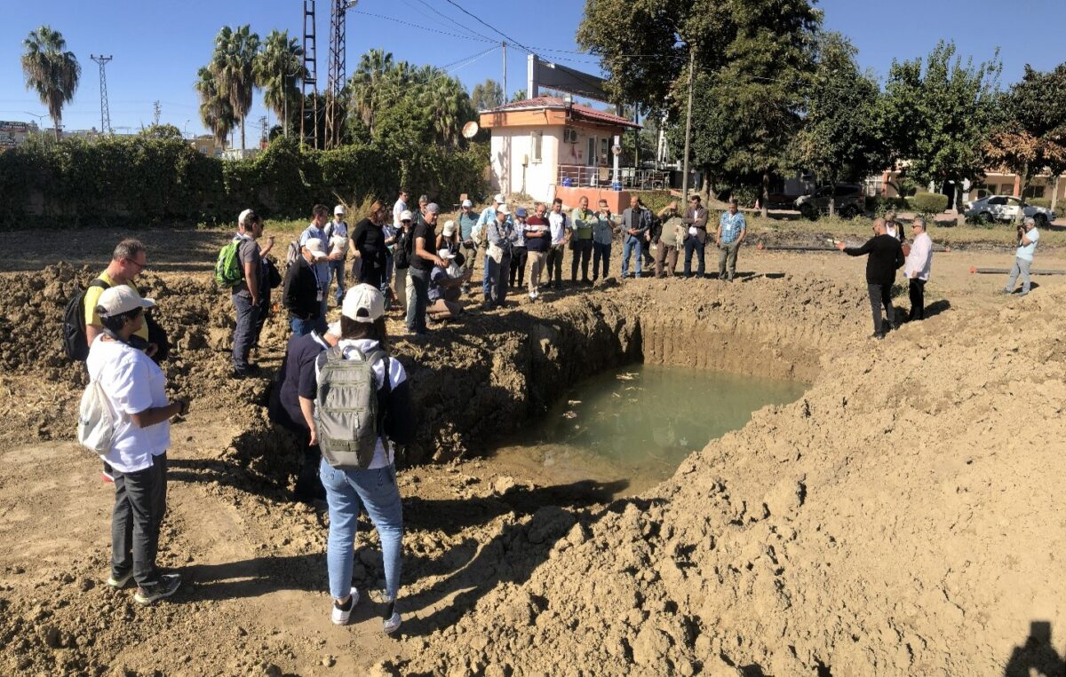
The Living Lab operates at two levels. The Lighthouse/demonstration level is the Hacıali Agriculture Research Area, where long-term soil and crop data, field experiments, and demonstrations are concentrated. This is the core area of the LL confirmed with the local institutional partners. The second level which is the landscape level, covers the agricultural areas of the Lower Seyhan Alluvial Plain, including limited-irrigated and rain-fed systems.
3. Aims
- Environmental & Social: Improve crop productivity and quality while strengthening drought tolerance, soil health, carbon sequestration, and the economic and ecological efficiency of rain-fed and limited-irrigation farming systems.
- Governance & Integration: strengthen a multi-stakeholder platform that integrates Soil Data and Information (SDI), spatial analyses, local knowledge, and decision-support tools into regional policy, extension services, and farming practices.
- Strategic Goal: Support crop and irrigation management strategies that improve crop productivity and quality while enhancing the carbon-sequestration potential and functional health of agricultural soils along with determining the advantages and disadvantages of compacted layers that are sought to be effective in water saving provided present under the ridges constructed to create more water saving spaces between the root zones of the tree crops (citrus) and the less permeable compacted layer.
4. Activities
The following list details the initial core activities designed for the Living Lab, though additional tasks and methodologies may be added as the project evolves.
- Reviews, organize, and integration of soil information and data following a soil information system framework.
- Conduct participatory assessment of barriers, opportunities, and strengths of effective use of soil information and data for sustainable soil landscape management.
- Identification of policy-relevant soil health indicators that can support monitoring, planning, and agricultural decision-making.
- Field campaigns to measure relevant soil properties and description of representative soil profiles using regional SOILS4MED field protocol.
- Develop use cases in applying soil information and data (SDI) (rendered from soil information system) to spatially optimize fertilizer use, crop allocation, irrigation management, and conservation cropping practices.
- Pilot use cases through: (a) the development of science-based, yet spatially explicit, framework for soil-suited fertilizer uses, crop allocations, and conservation farming practices; and (b) mapping with stakeholders to identify locally suitable fertilizer application, soil-crop uses and management related to soil compaction.
- Promote conservation-oriented practices adapted to local soil conditions, such as legumes, cover crops, mulching, fallow management, crop rotation, and reduced-input practices.
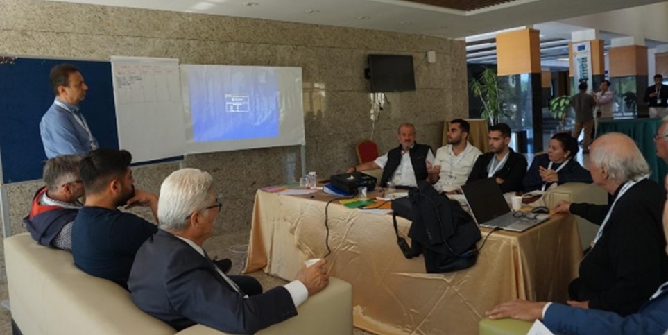
- Build capacity throughexpert consultations, participatory workshops, “computer lab” sessions for training on soil information system and selected soil-related decision support tools, and field-based evaluations of soil health indicators in capacity to be dealt with SHI independence.
5. Participants
The following organizations and groups constitute the initial stakeholder list; the partnership remains open to additional contributors from the local and international community.
- Science and research: Cukurova University (coordinator), Eastern Mediterranean Agricultural Research Institute, Biological Control Research Institute
- Policy and agricultural administration: Ministry of Agriculture and Forestry, Adana Provincial Directorate of Agriculture and Forestry, General Directorate of State Hydraulic Works, Agriculture Reform General Directorate
- Practice: Local farmers in Lower Seyhan Alluvial Plain, Agricultural Extension and In-Service Training Center, agriculture and irrigation companies, farmer organizations and local service providers
- International organizations: FAO Türkiye and relevant international organizations, SOILS4MED and related Mediterranean soil-health networks.
A Farmer Field School component will be implemented as a network of soil-focused living labs in which farmers, extension agents, soil scientists, and local stakeholders co-create, test, and refine soil-suited management solutions under real field conditions over a full cropping season. Each FFS site will be established on a representative soil landscape characterized through the SOILS4MED field protocol—including description of representative soil profiles and measurement of policy-relevant soil health indicators—so that the learning plots simultaneously serve as monitoring units that feed the soil information system. Through cyclical, discovery-based sessions built around agroecosystem analysis, participants will jointly diagnose local soil constraints, interrogate spatial data and decision-support outputs from the spatial data infrastructure (SDI) during dedicated “computer lab” sessions, and translate them into side-by-side comparative trials of soil-suited fertilizer rates, crop allocations, irrigation scheduling, and conservation practices such as legumes, cover crops, mulching, fallow management, crop rotation, and reduced-input approaches. Farmers will record observations, validate the practical relevance of soil health indicators and use-case recommendations, and feed their experiential findings back into the participatory mapping and use-case development process, ensuring the framework for soil-suited management is both science-based and locally legitimate. End-of-season reflection cycles will consolidate lessons, strengthen farmer and institutional capacity, and identify successful innovations for scaling to neighboring communities and integration into wider monitoring, planning, and decision-making.