
Opens in a new tab

Project Team

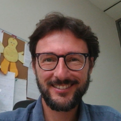
Claudio Zucca

Claudio Zucca

University of Sassari - UNISS

More Info
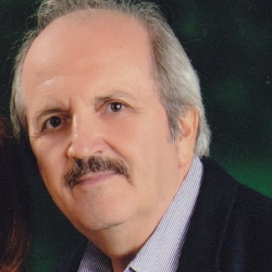
Pandi Zdruli

Pandi Zdruli

International Center for Advanced Mediterranean Agronomic Studies - CIHEAM - Bari

More Info
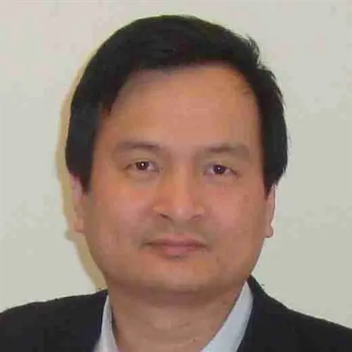
Quang Bao Le

International Center for Agricultural Research in the Dry Areas - ICARDA

More Info
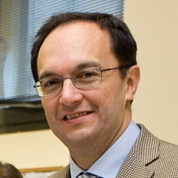
Antonio Delgado Garcia

Universidad de Sevilla - USevilla
Dimitrios Triantakonstantis

Hellenic Agricultural Organization - ELGO DIMITRA

More Info
Ihab Jomaa

Lebanese Agricultural Research Institute - LARI
Roberto Demontis

Centro Ricerca Sviluppo e Studi Superiori in Sardegna - CRS4

More Info
Süha Berberoglu

Çukurova University - CU
Riccardo Scalenghe

University of Palermo - UniPa
Rachid Moussadek

National Institute of Agronomic Research Morocco - INRA Morocco

More Info
Laurent Caner

Université de Poiters - UP France
Rafla Attia

Ministry of Agriculture, Water Resources and Fisheries, Directorate General of Planning and Conservation of Agricultural Land - MARHP - DGACTA

More Info
Sameh Shaddad

Zagazig University - ZU
Jawad Al-Bakri

University of Jordan - JU

More Info
Michele D’Amico

University of Milan - UMIL
Fabio Terribile

University of Naples Federico II - UniNa

Giacomo Belvisi

University of Palermo - UniPa
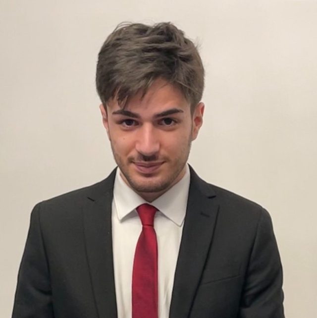
Lino Sciurba

University of Palermo - UniPa

Claudio Zucca

Claudio Zucca is Associate Professor in Pedology at the University of Sassari, Italy.

Between 2025 and 2019 he was Soil Conservation and Land Management specialist with ICARDA, based in Rabat, Morocco (2016-2019) and Amman, Jordan (2015-2016). His area of research is sustainable land management, soil and water conservation, and land degradation. His research approach is based on interdisciplinary and multi-scale methods that integrate fieldwork and geomatics. He is interested in soil-genetic processes and soil geography and has performed basic and applied research in pedology, contributing to several soil survey and mapping studies.

With ICARDA Professor Zucca has lead research on soil carbon sequestration and the effects of bioavailable silicon on water use by crops in collaboration with crop breeders and plant physiologists. He also has lead ICARDA’s work on soil and water conservation in the savannah belt of Nigeria and integrated watershed management in Ethiopia and Tunisia, and co-lead the scaling of sustainable land management practices and land degradation neutrality.

He served as focal point for the international consortium on global soil partnership and world overview of conservation approaches and technologies. He has been member of the UN international roster of experts for combating desertification and has served on the editorial board of World Desertification Atlas.

Pandi Zdruli

Prof. Dr. Pandi Zdruli is Senior Research Scientist with the International Centre for Advanced Mediterranean Agronomic Studies (CIHEAM) Mediterranean Agronomic Institute of Bari in Italy since 1999 where he teaches soil science and natural resources management. Prior to joining the Bari Institute, he was Visiting Scientist (for two years) with the European Commission’s Joint Research Centre at Ispra, Italy and Senior Fulbright Research Scholar (for five years) at the USDA – Natural Resources Conservation Service in Washington, D.C. He graduated in 1981 from the Agricultural University of Tirana in his native Albania and after working for 13 years in his home country he pursued graduate studies and research in the USA sponsored by the Fulbright Foundation. Prof. Zdruli has published more than 80 papers and technical reports on relevant soil management topics and has edited 12 books. Among others, he is member of International Union of Soil Science, Soil, Crop and Agronomy Society of America, Italian Society of Soil Science, European Soil Partnership, European Society for Soil Conservation, Fulbright Association, editorial board member of the Soil Atlas of Asia and many other relevant publications, as well as board member of the EU European Joint Programme on Soil, EU’s mission Soil Deal for Europe and other prestigious boards.

Quang Bao Le

Quang Bao Le is an agricultural livelihood systems expert with more than 25 years-experience. His research focuses on the development and application of human-environment system methodologies to integrate multi-disciplinary scientific expertise with societal decision-making processes to foster sustainable agricultural livelihood systems.
Le was recruited by the CGIAR Research Program on Dryland Systems in 2015 to identify critical leverage points and processes for improving food security, ecosystem services integrity, and livelihood resilience in the face of global changes. He conducts regional, continental and global assessments of land degradation and improvement, and related contextual typologies. His research also includes the development of methodologies for the optimal selection of
representative study sites and households across global drylands given their high contextual complexity, and the out- and up-scaling of site-specific findings toward development outcomes.
Before joining the Dryland Systems program, Le was a senior scientist at the Department of Environmental Systems Science, Swiss Federal Institute of Technology (ETH) Zurich. He began his career as a Lecturer at Hue University.
Le has authored more than 60 peer-reviewed publications and has supervised the dissertations of more than 12 graduate students from Africa, Asia, Europe, North and Latin America. He is serving on the editorial boards of three refereed international journals (Nutrient Cycling in Agroecosystems, Frontiers – Agroecology and Land Use Systems, and Change and Adaptation in Socio-Ecological Systems).
Le received a Ph.D. in Geography, Ecology and Natural Resources Management from the University of Bonn in Germany, where he also completed his postdoctoral research. He also holds a master’s degree in Environmental Science from Chiang Mai University, Thailand.

Antonio Delgado Garcia

Dimitrios Triantakonstantis

He is an Assistant Professor in the Department of Sustainable Agriculture at the University of Patras, specializing in Cutting Edge Technologies in Precision Agriculture.He is an agronomist and has completed postgraduate studies in Environmental Management (Agricultural University of Athens) and in Geographic Information Systems with Remote Sensing (University of Greenwich, UK). In 2006, he was awarded a Ph.D. in the field of Geographic Information Systems, Spatial Statistics, and Land Use Change Modeling from the Agricultural University of Athens. He has also completed postdoctoral research at Newcastle University (UK), at ESF – State University of New York (USA), at the Foundation for Research and Technology – FORTH, at the University of Thessaly, and at the National Hellenic Research Foundation. He is the author of many scientific articles in international journals and conferences. Additionally, his research activities relies on the contribution of agriculture to mitigating climate change by facilitating soil health and food security. He is the Greek focal person for digital SOC mapping in the FAO-GSP framework. He was the Coordinator of the LIFE 2020 GEOCARBON project funded by the European Commission.

Ihab Jomaa

Roberto Demontis

Roberto Demontis is IT Scientist in the Digital Technologies Sector at CRS4 where he has been working since 2000. He got a degree in Computer Science at the University of Pisa in 1997.
The scopes of research is on GIS (Geographical Information System) related technologies with particular reference to the treatment of environmental data and their correlation with data of other kinds. Uses and develops mainly open source software. He has extensive experience in Data management, Software development, WEB/GIS applications, geospatial DSS (Decision Support Systems) tools. He has been leader or partner in several CRS4 projects. In the Soils4Med project he is the PI of the WP5 “Harmonized Soil Information Systems (SIS) tool”

Süha Berberoglu

Riccardo Scalenghe

Rachid Moussadek

Dr. Rachid Moussadek is Senior Scientist- Specialist in Soil and Cropping System and Joint Researcher ICARDA-INRA. He received his Ph.D. in Sustainable Land Management from Ghent University (Belgium) and One-year international course on Agro-climatology from Liege University (Belgium) and Master in Soil sciences from IAV HII.

During his 20 years career, the main topics of his research were related to Soil-Climate-Cropping system (using GIS/Remote Sensing for land suitability, soil fertility mapping and management, soil carbon sequestration in agricultural system in relation with climate change modeling).

He published more than thirty papers in peer-referred journals and presented his research results at various congress and scientific meetings. He coordinate several international projects (EU projects, CRDI, ICARDA, OADA …), expert for various institutions, universities and private sector, among which FAO, GIZ, IFAD .   He is a reviewer for different journals in soil management and environment topics. Keynote speaker to various congresses and conferences. Member of scientific committee of COP 22 and Member of scientific committee of triple A Initiative.

Laurent Caner

Rafla Attia

Diploma: Senior Engineer in Geology in 1990.Master of Geology Applied to the Environment 2004.

Grade: General Engineer

Function: Director of Soil Resources

Institution: Directorate General for Agricultural Land Development and Conservation DGACTA – Directorate for Land Resources D / SOIL – Ministry of Agriculture

Key  qualifications

Qualitative and quantitative characterization of soils, study of the degradation, erosion mapping of the functional and hydrodynamic properties of soils as well as good management practices of this resource.

The characterization of agro systems, their sustainability and their vulnerability to degradation.

-The economic valuation of water and soil

-Monitoring and evaluation of sustainable land management

– Soil mapping and information systems

– Soil pollution

– Sustainable Management of Soil Fertility for Sustainable Agriculture

– Ecosystem services of soils and the balance between physical, human and natural financial capital ………….

-The support in information relating to the ground and its hydrodynamic operation.

Currently I am responsible for the management of the Directorate of Resources in Sol managing the different themes of the Sol

-The Soil Analysis Laboratory

-Mapping, database of Soils

-The public perimeters salinity of Soils

-L degradation – soil erosion

-Fertility Soil Management

I participated and coordinated several projects, conventions and partnerships between D / SOLS – FAO- GIZ- CNCT- IAEA- IRD- INAT- INGREF


2016- 2019 Focal point and coordinator of the PADII GIZ Project “Sustainable Management of Soil Fertility for Sustainable Agriculture with objectives. Activities under the project are based on: implementation  of good organic soil management in the north-west and west-central (7 governorates are involved)

2016- 2019 Focal point and coordinator of the FAO DS-SLM Project – DGACTA whose objectives are the evaluation, integration and extension of good soil management practices at the regional and global scale with the expected result

2016- 2019 Focal point and coordinator of the Projet Sol Project DGACTA – CNCT (National Center of Cartography and Remote Sensing): ESTIMATION OF THE PHYSICO-CHEMICAL PROPERTIES OF SOIL SURFACE FROM SPECTROSCOPIC DATA: VISIBLE / NEAR INFRARED (VPIR) »with main activities

–         the estimation of the functional properties of soils and their spatialization through hyperspectral satellite imagery and / or statistical interpolation methods.

-Establishment of a spectral library that can contribute to studies of precision agriculture and regional planning …

           Digital mapping of soil surface properties

2017-2018 supervision of two masters work

-Effects of the organic amendments on the evolution of the physicochemical properties of a browned soil in the region Cap Negro-Nefza (North-West of Tunisia) realized by Assia Maaoui

-Use of nuclear techniques (Cesium-137) for the assessment of soil erosion in the Krib-Siliana region (North-West Tunisia) by Raouia Chartmi

2016-2020 Focal point and coordinator of the Research Development Agreement between IRD – Directorate of Soil with main programs

– Program 1: Essay of digital mapping of primary and functional properties of soils according to the specifications of the world map of SOLS -GSP

– Program2: Spatialization of hydro-pedological determinants by remote sensing in the semi-arid zone: Merguellil plain

2016-2017 I participated in the various meetings related to the discussion and preparation of the new Water and Soil Conservation Strategy 2015-2025

2012-2016 coordination of a research and development project – POLLUTED AGRICULTURAL SOILS OF THE FORMER TUNISIAN MINES.

Structure in charge: DG / ACTA, D / SOILS – INRGREF, LR VENCo – Coordinators: Mr HACHICHA & R. ATTIA

FST: Teacher-researchers: M.Bouhlel .S; Mining Office, concerned CRDAs

2012- 2015 Coordination of the “use of the fallout radionuclide based techniques for soil erosion assessment C7-Raf / 5 / 063-001 / 12″ project which is the subject of the DGACTA D / sols – CNSTN convention on the use of nuclear techniques for quantification of erosion project RAF 063-002 / 13 CNSTN year

2007-2010: I took part in the various LADA project phases. It is a project of duration 6 years It was financed by the Fund for the Global Environment (GEF), implemented by the United Nations Environment Program (UNEP) and implemented by FAO.

  (2008-2010) -Development of a research and development work between DGACTA and ESAK Entitled »Comparative study between direct and conventional seeding techniques: Effect on runoff and erosion«

-Institutions: ESAK, DGACTA-D / soils

-Partners: Moncef BEN-HAMMOUDA; Associate Professor at ESAK, Nadhira BEN AISSA; Assistant Master at INAT

Sameh Shaddad

Jawad Al-Bakri

Professor Al-Bakri holds PhD in remote sensing (Cranfield University, UK, year 2000), MSc and BSc in Soils and Irrigation (UOJ). His experience extends over 20 years of research, teaching and community services in the fields of applying geospatial techniques in land resources management, particularly in the areas of drought, desertification monitoring and climate change assessment. Prof. Al-Bakri was involved in many research and development projects related to water and land management through USAID, GIZ, UNDP and FAO. He is currently integrating remote sensing and earth observation in land management, water accounting and climate change impact assessment. During his work, Al-Bakri had archived huge datasets for Jordan including climate, satellite images, land cover and soil maps.

Michele D’Amico

Fabio Terribile

Giacomo Belvisi

Lino Sciurba